Remote Wildfire Risk Assessments
Help protect homes and families
Easy, quick property assessments using your mobile phone.
Join Our Pilot Program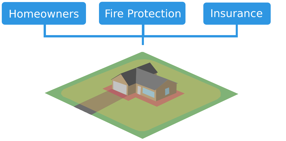
Easy, quick property assessments using your mobile phone.
Join Our Pilot Program
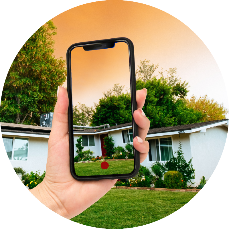
Use the Emberspace App to take a few images of your property.

We analyze these images in the cloud with computer algorithms and remote inspectors to identify risk factors.
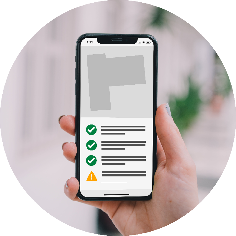
Get insights on how well your home is protected during a wildfire event and steps you can take to reduce risks.
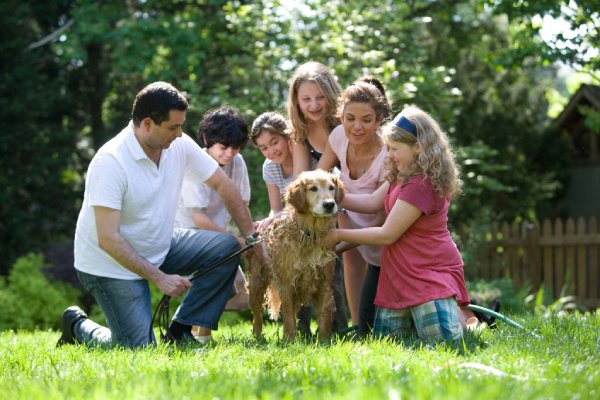
Assess the defenisble space around a property by simply taking a few pictures using your mobile phone. We'll help you identify risk factors and suggest ways to protect your homes. Share the information with fire protection agencies to comply with local laws or with insurers to find better rates.


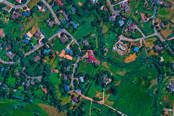
Emberspace complements in-person inspections to give municipal agencies more insights into neighborhood vulnerabilities before and during the fire season. Valuable resources can be deployed to where they are more needed while saving unnecesssary costs.
Get frequent, high resolution data on a per-property basis to help write better policies. Traditional risk assessment methods are becoming obsolete due to the interactions between climate change, increased vegetation fuels, and migrations into the wildland-urban interface. Emberspace creates an easy way to engage with homeowners in wildfire prone areas to help reduce risks to life, property, and community.